National Park · WA
Mount Rainier National Park
Mount Rainier is quietest in January and February and busiest in August.
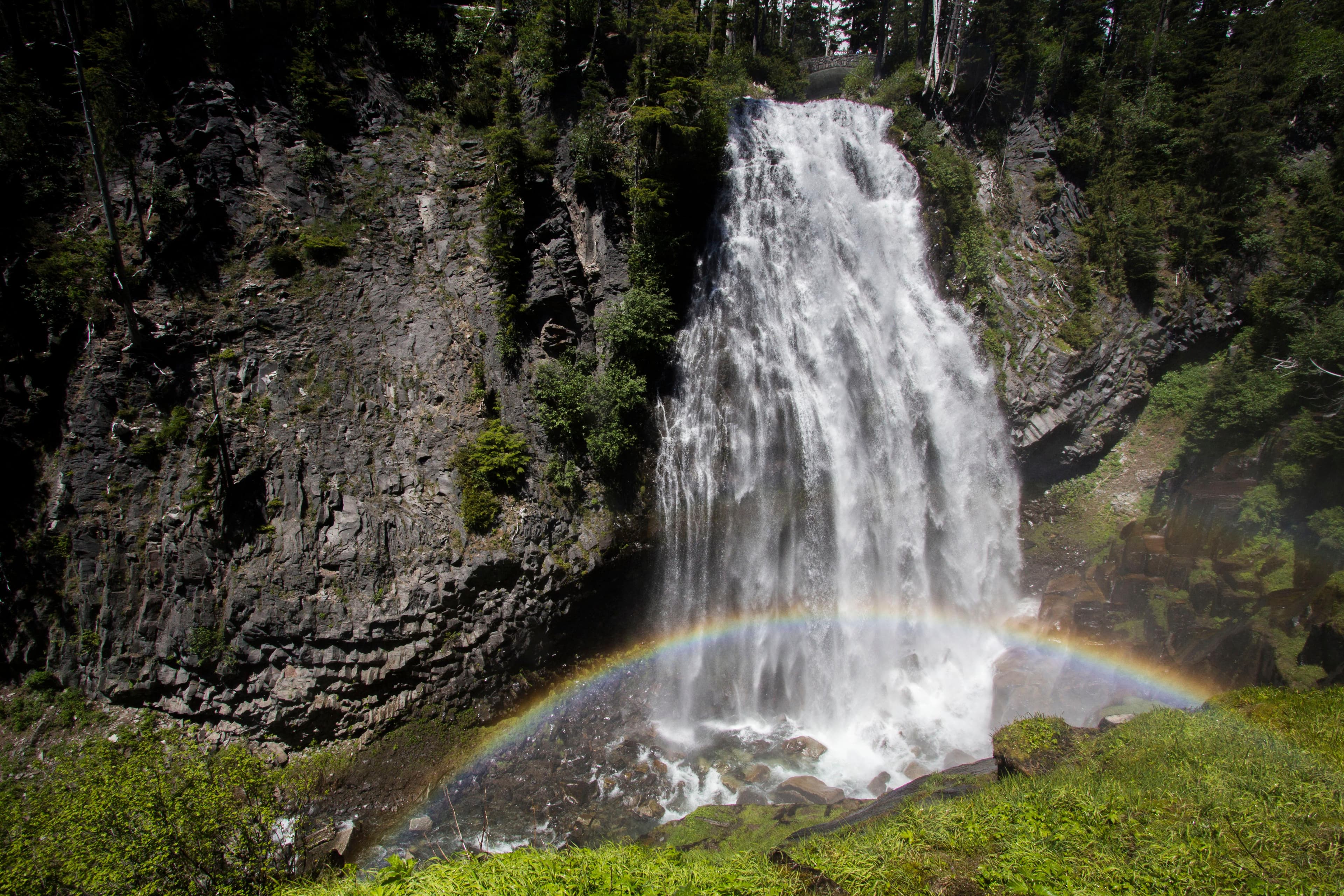
Ascending to 14,410 feet above sea level, Mount Rainier stands as an icon in the Washington landscape. An active volcano, Mount Rainier is the most glaciated peak in the contiguous U.S.A., spawning five major rivers. Subalpine wildflower meadows ring the icy volcano while ancient forest cloaks Mount Rainier’s lower slopes. Wildlife abounds in the park’s ecosystems. A lifetime of discovery awaits.
1.6M recreation visits a year on average (2023–2025)
Data: NPS visitation 2023–2025 · crowd scores computed Oct 2026 · alerts checked Oct 18, 2026. How this is calculated →
Computed from federal data · Methodology by Sharon Ben-Moshe
Pick a month to visit Mount Rainier
This week
7-day forecast
| Day | Conditions | High | Low | Precip chance |
|---|---|---|---|---|
| Mon 19 | Snow | 38°F | 30°F | 8% |
| Tue 20 | Overcast | 43°F | 30°F | 5% |
| Wed 21 | Overcast | 51°F | 33°F | 0% |
| Thu 22 | Light snow | 40°F | 17°F | 26% |
| Fri 23 | Light snow | 28°F | 17°F | 12% |
| Sat 24 | Overcast | 42°F | 19°F | 49% |
| Sun 25 | Light rain | 31°F | 21°F | 52% |
Forecast data by Open-Meteo
Source: Open-Meteo
Weather
Monthly climate normals
| Month | Avg high | Avg low | Precip |
|---|---|---|---|
| January | 35°F | 24°F | 17.2" |
| February | 34°F | 23°F | 12.9" |
| March | 36°F | 24°F | 13.2" |
| April | 40°F | 26°F | 8.3" |
| May | 48°F | 33°F | 5.1" |
| June | 54°F | 37°F | 3.8" |
| July | 62°F | 44°F | 1.4" |
| August | 64°F | 45°F | 1.6" |
| September | 57°F | 41°F | 4.4" |
| October | 46°F | 33°F | 11.3" |
| November | 37°F | 26°F | 18.2" |
| December | 33°F | 22°F | 18.9" |
Source: NOAA 1991–2020 climate normals, RAINIER PARADISE RS, WA US
Know before you go
Fees & hours
- Entrance fee
- $30 — Grants unlimited entry for one vehicle and passengers for seven consecutive days. Vehicle must be private, noncommercial, and with a seating capacity of 15 or less.
- Hours
- Mount Rainier National Park is open all year. Visitation peaks in July and August with warmer weather and blooming wildflowers. In spring and autumn, weather determines the availability of facilities and roads. During winter months a number of roads, facilities, and entrances close for the season.
Source: NPS Data API
Conditions
Current alerts
- Park Closure
SR 165 Carbon River/Fairfax Bridge is closed: no access to Carbon River or Mowich Lake.
There is NO public access to Carbon River & Mowich Lake from SR 165. The bridge is closed to pedestrians, bicycles and vehicles and there is no alternate route.
Details on nps.gov → - Information
Ohanapecosh Campground area closed for construction in 2026.
The entire Ohanapecosh Campground area is CLOSED for the duration of the construction project, including all campsites, visitor center, restrooms, picnic area, & Ohanapecosh river access.
Details on nps.gov → - Information
Expect long lines at entrances on weekends.
Lengthy delays are likely at the southwest park entrance on SR706 on weekends. Check Google Maps for backup (represented by the orange/red line) at link below. Please do not block driveways or roads while in line outside the park.
Details on nps.gov → - Information
Your GPS May Be Wrong
There are five entrances to the park. GPS may take you to the wrong entrance or attempt to follow the most direct route, which could lead to closed gates. It can take hours to reroute to the correct entrance. Check directions & maps, not just your GPS.
Details on nps.gov → - Caution
Be cautious around park rivers & learn how to cross safely!
Many hikers underestimate the power of moving water. Regardless of your knowledge, skills, and experience use these pointers in making wise decisions before attempting to cross a river.
Details on nps.gov → - Information
Fryingpan Creek Bridge Replacement Project: Traffic and Trail Impacts
Parking is closed at the Summerland Trailhead on either side of Fryingpan Creek Bridge due to construction through 2029. Access to Summerland remains open via the Wonderland Trail with limited parking at White River Campground. Expect traffic delays of up to 30 minutes due to one-lane traffic on White River Road while it remains open for the season.
Details on nps.gov → - Danger
WILDFIRE CLOSURES: Sunrise & northern trails. White River open.
Due to several active fires on the north side of the park, the following closures are in effect until further notice: Grand Park area & trails, Northern Loop Trail, Wonderland Trail from Carbon River Suspension Bridge to Frozen Lake, & associated backcountry campgrounds. White River Road & WR Campground reopened along with White River/Sunrise Trails. Sunrise Rd CLOSED to vehicles; open for pedestrians/bicycling only.
Details on nps.gov →
Source: NPS Data API
FAQ
Mount Rainier questions
When is the best time to visit Mount Rainier?
Mount Rainier is least crowded in January, February, and March. August is the busiest month, so visiting outside it means thinner crowds and easier parking.
How much does it cost to visit Mount Rainier?
Entrance to Mount Rainier costs $30 (Grants unlimited entry for one vehicle and passengers for seven consecutive days. Vehicle must be private, noncommercial, and with a seating capacity of 15 or less.).
When is Mount Rainier busiest?
Mount Rainier is busiest in August, when crowds rate 10/10 (peak). Expect full parking lots and longer waits; arrive early or choose a quieter month.
How crowded is Mount Rainier during holidays and fee-free days?
Holiday weekends (Memorial Day, Labor Day, Fourth of July) and official NPS fee-free days typically bring peak crowd conditions to Mount Rainier. Arrive before 8 AM or after 3 PM to secure parking and avoid peak trail congestion.